
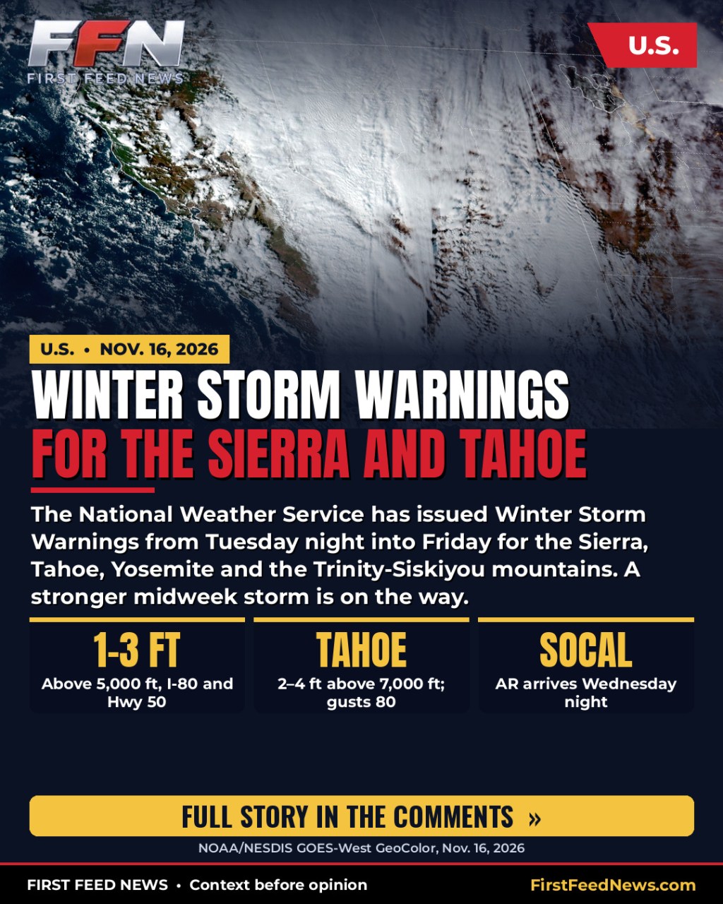
The National Weather Service has issued Winter Storm Warnings from Tuesday night into Friday for the Sierra, Tahoe, Yosemite and the Trinity-Siskiyou mountains, as a stronger midweek storm approaches California. Southern California’s first significant atmospheric river of the season is forecast to arrive Wednesday night into Thursday.
Sierra, Tahoe and the mountain warnings
NWS Sacramento issued a Winter Storm Warning from 10 p.m. PST Tuesday, Nov. 17, to 4 a.m. PST Friday, Nov. 20, for elevations above 4,000 feet in the Sierra Nevada and southern Cascades, including Interstate 80 and Highway 50. The office expects 1 to 3 feet of snow above 5,000 feet, up to 4 feet on the highest peaks, and up to a foot between 4,000 and 5,000 feet. Wind gusts may reach 55 mph. Forecasters said travel could be very difficult to impossible Tuesday night through early Friday, with the heaviest snow Wednesday morning into the afternoon and snowfall rates of 1 to 2 inches per hour or more.
NWS Reno upgraded the Greater Lake Tahoe area to a Winter Storm Warning from 4 a.m. Wednesday to 4 a.m. PST Friday, calling for 2 to 4 feet of snow above 7,000 feet and 1 to 2 feet around lake level, with ridgetop gusts as high as 80 mph and waves of 2 to 4 feet on Lake Tahoe. NWS Hanford issued a Winter Storm Warning from 4 a.m. Wednesday to 4 a.m. Friday for areas above 5,000 feet in Yosemite, Kings Canyon and Sequoia, with official snow totals ranging from 2 to 58 inches depending on elevation.
Farther north, the warnings are for less snow than on the Sierra crest. NWS Eureka has Winter Storm Warnings from 7 p.m. Tuesday to 1 a.m. Thursday for parts of Trinity County, with 8 to 12 inches possible above 4,000 feet. NWS Medford has warnings from 7 p.m. Tuesday to 4 a.m. Thursday for parts of Siskiyou County above 4,000 feet, with roughly 7 to 18 inches. Those mountain totals should not be confused with the 1-to-3-foot forecast along I-80 and Highway 50.
East Bay winds and coastal rain
NWS San Francisco issued a High Wind Warning for the East Bay Hills from 9 p.m. Tuesday to 1 p.m. PST Wednesday, for south winds of 25 to 35 mph and gusts up to 70 mph. The office said the strongest winds will be in the Altamont Pass area, and that damaging winds could down trees, snap power lines and make travel hazardous, especially for high-profile vehicles.
The Weather Prediction Center’s Day 3 Excessive Rainfall Outlook, issued Monday and valid from 12Z Wednesday, Nov. 18, through 12Z Thursday, Nov. 19, maintains a Slight Risk of excessive rainfall for central coastal California, including the central Coastal Ranges and the Bay Area. WPC said areal average rainfall is expected in the 1-to-2-inch range, with locally higher amounts of 3 to 4 inches, much of it falling in a 3-to-6-hour window. Its short-range discussion said urban areas, roads, small streams, narrow canyons and burn scars are the most vulnerable.
Southern California’s first significant atmospheric river of the season
NWS Los Angeles/Oxnard, in its Monday afternoon forecast discussion, said a moderate to strong storm will bring periods of heavy rain later Wednesday and Thursday, with the heaviest rain Wednesday night into Thursday morning. The office expects 1 to 3 inches along the coast and in the valleys, highest in the foothills, and isolated amounts of 5 inches in south-facing mountains. Rain rates may approach an inch an hour in the mountains. The office said flood watches will likely be needed and will be evaluated Tuesday.
The Los Angeles Times, citing the Weather Service, reported that Southern California is bracing for its first significant atmospheric river storm of the season, with a risk of flooding, rockslides and debris flows near recent burn scars. NWS Oxnard meteorologist Ryan Kittell told the Times, “If you live near any recent burn scars, listen to local officials. With this type of rain there’s certainly a concern.” The Times also reported that the Weather Service was calling for at least a 15 percent chance of excessive rainfall that could result in flooding and raise the risk of debris flows near recent burn scars.
Coastal surf
Official National Weather Service coastal forecasts call for breaking waves of 10 to 15 feet, with local sets to 20 feet, along parts of the California coast. NWS Los Angeles/Oxnard said the Central Coast’s highest surf-related risk Monday was large surf of 10 to 15 feet with local sets to 20 feet, and that another round of large surf, potentially to warning level, is possible late Wednesday through Thursday. High Surf Advisories remain in effect for some beaches. First Feed is using those official NWS figures. This report does not use unofficial 50-foot wave claims.
The satellite video with this report is official NOAA/NESDIS GOES-West GeoColor imagery from Monday, Nov. 16. It shows Pacific moisture along the West Coast today. It is not a live shot, and it is not pictures of the midweek storm already arriving. The map is the official Weather Prediction Center Day 3 Excessive Rainfall Outlook issued Monday.
Sources: National Weather Service Sacramento, Reno, San Francisco Bay Area, Los Angeles/Oxnard, Hanford, Eureka and Medford; Weather Prediction Center Excessive Rainfall Outlook and short-range discussion, issued Monday, Nov. 16, 2026; NOAA/NESDIS/STAR GOES-West GeoColor; Los Angeles Times, reporting including comments from NWS Oxnard meteorologist Ryan Kittell. Video: NOAA/NESDIS GOES-West GeoColor, Nov. 16, 2026. Map: Weather Prediction Center.
Follow First Feed News for breaking news first.








Leave a Reply