
Mexico’s National Meteorological Service said Cold Front 6 would bring intense rain to parts of Puebla, Veracruz and Oaxaca and a strong Norte wind along the Gulf coast. The official forecast called for gusts of 60 to 80 km/h on Monday and 70 to 90 km/h on Tuesday in central and southern Veracruz and the Isthmus of Tehuantepec.
What the weather service forecast for Monday and Tuesday
In its 96-hour forecast, the Servicio Meteorológico Nacional, part of the National Water Commission, said Cold Front 6 would move across northeastern and eastern Mexico on Monday, Nov. 16, in combination with a trough of low pressure over the western Gulf of Mexico. For Monday, the agency forecast very heavy to intense rain of 75 to 150 millimeters in northern Puebla, northern Oaxaca, and northern and central Veracruz, with a Norte event of 40 to 50 km/h and gusts of 60 to 80 km/h along the coasts of Tamaulipas and Veracruz. It also forecast north winds of 30 to 40 km/h with gusts of 50 to 70 km/h in the Isthmus and Gulf of Tehuantepec in Oaxaca, and 2-to-3-meter surf off the Veracruz and Tehuantepec coasts.
For Tuesday, Nov. 17, the same official forecast said the front would stall over the Gulf and the southeast, with heavy to very heavy rain of 50 to 75 millimeters in southern Veracruz, northern and eastern Oaxaca, northern and eastern Chiapas, and western and southern Tabasco, and strong rain of 25 to 50 millimeters in southeastern Puebla. The Norte was forecast to strengthen, with gusts of 70 to 90 km/h in central and southern Veracruz and in the Isthmus and Gulf of Tehuantepec, and 3-to-4-meter surf off the Veracruz coast. A new system, Cold Front 7, was expected to move into northwestern Mexico.
The risks the agency flagged
The weather service warned that the heavy rain could come with lightning, wind gusts and hail, and could raise rivers and streams, trigger landslides and cause flooding in low-lying areas. It also said strong gusts could bring down trees and billboards. Those are forecast hazards, not a damage report. The outlook is the agency’s official guidance as published Monday; later updates can change the amounts and the wind speeds.
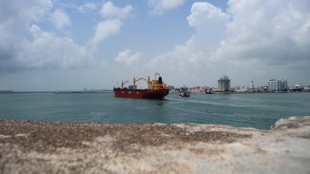
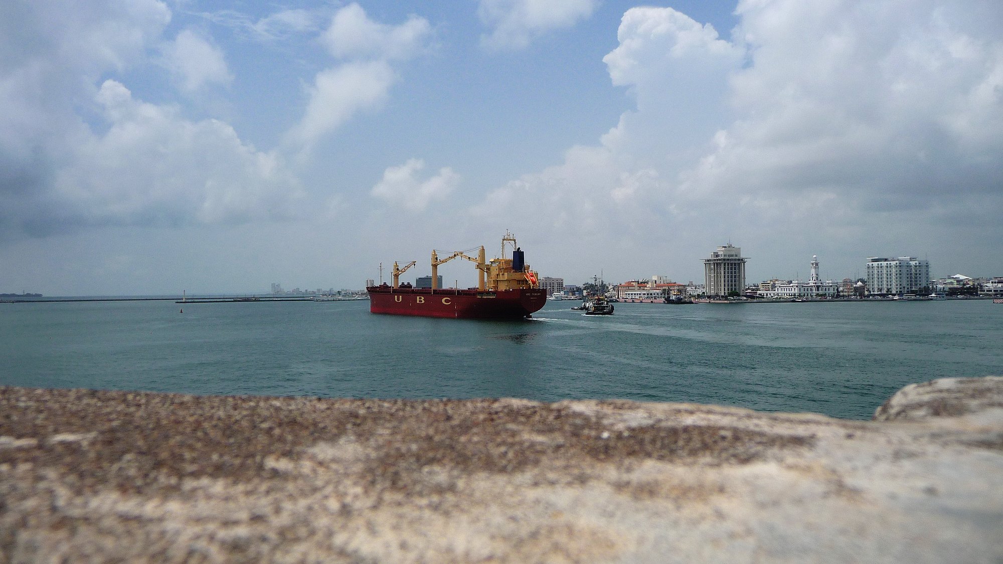
Sources: Servicio Meteorológico Nacional, Comisión Nacional del Agua, 96-hour extended forecast for Nov. 16–20, 2026. Photo: Veracruz waterfront from San Juan de Ulúa, Rodrigo SanSs / Panoramio via Wikimedia Commons, CC BY-SA 3.0, resized for web. This is a file photograph, not a picture of today’s storm.





Leave a Reply